
Search a Dracut Street by Address
Begin with the exact address and move from location evidence to legal title, then to the limited sources that can add resident or historical context. The Town of Dracut GIS viewer is the first location check because its visible prompt accepts Owner, Address, or ID. Its parcel and assessing update notices are dated February 18, 2026 and June 23, 2026, respectively. The Town also disclaims accuracy, completeness, and timeliness, so a map match needs a second record before it becomes a conclusion.
- Enter the street address in GIS and record the displayed parcel or ID. Keep the address exactly as the map presents it, including a directional word, road suffix, unit, or hyphenation.
- Use that parcel context in the Dracut Assessors Database. Read the owner, situs, mailing address, MBL, size, value, and improvements as assessment information, not proof that every named person lives there.
- Find the current document or book and page in the Middlesex North Registry of Deeds. A grantor is the party transferring an interest; a grantee is the party receiving it.
- For current civic-list information, ask the Town Clerk about the appropriate annual street-list arrangement. It is a regulated local record, not a universal household roster.
- For an earlier address, use the 1946 reverse Street/Address Index first, then carry the returned surname to the alphabetical directory and compare it with dated title or census evidence.
That order avoids a common error: treating the assessed owner, the tax-mail recipient, the deed party, and a historical directory name as though they all identify the same current resident. They may not. A street-by-street search is strongest when every result retains its source, date, and role.
Dracut GIS Street Search Fields
The GIS interface exposes three verified search routes. They are useful for locating a mapped parcel and returning to it after a spelling difference, but the Town's public material did not document a street-range, ZIP, exemption, or bulk-export control. Use the viewer to create a short, manual parcel list for a road segment, then verify each parcel separately.
| Visible field | Input | Required | Verified use |
|---|---|---|---|
| Owner | Text | Optional | Tests an assessment name against the mapped parcel. |
| Address | Text | Optional | Locates a street address; the portal does not state its normalization rules. |
| ID | Text | Optional | Returns to the same parcel when street wording varies. |
| Street, ZIP, exemption | Not verified | Not verified | No official text confirmed these as available GIS filters. |
The Dracut assessor search is the town-advertised name and address companion to the map.
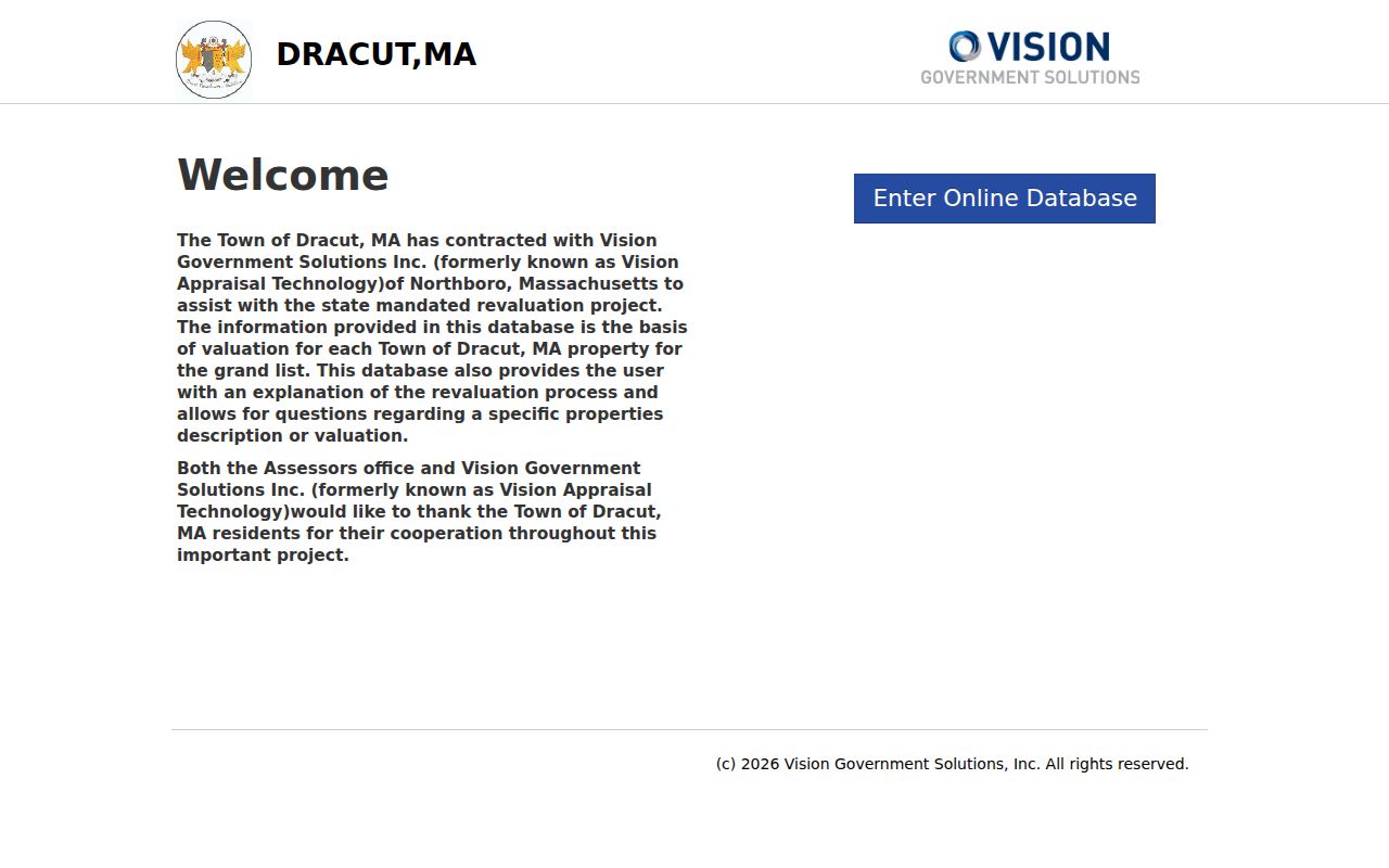
The dynamic Vision controls were not text-readable during research, so its card fields should be read live rather than assumed from a generic property-search form.
Dracut Parcels and Street Names
Street text is a useful starting point, but a stable parcel identifier is better when names, numbers, or mailing details change. Dracut's current property and precinct materials separate mapped parcel context from electoral geography. The posted property-map series reaches map 74, while the 2022 street and precinct map divides the town into nine precincts. Neither map converts a postal address into a legal boundary.
- Parcel
- A mapped piece of land used by the assessor and GIS. Its MBL or parcel ID can hold a search steady when address text differs.
- Situs address
- The physical location of a parcel or improvement. It can differ from an owner's mailing address.
- Plat or plan
- A recorded map or plan that can help relate lot lines, road frontage, and the deed's legal description. It is more precise than a casual street label.
- Criss-cross directory
- A reverse address directory that starts with a street and number, then points toward a historical household or business entry.
Keep the MBL, map number, street number, and deed description together. A corner lot, a shared drive, or a rear parcel can make an address look simpler than the legal record. The Town warns that property maps show relative parcel positions and are not a guarantee of legal lines.
Dracut Street Deed Search Controls
A parcel search becomes a title search at MassLandRecords. Middlesex North offers Recorded Land Name, Document, Book, Property, Recorded Date, Unindexed Property, Unindexed Pre-1855 Books, and Pre-1976 Grantor/Grantee modes. The computerized recorded-land name index begins in 1976. Older records remain valuable, but they require book, page, town, or adjacent index-page work rather than a modern full-name query.
| Recorded Land Name control | How it narrows a Dracut search |
|---|---|
| Office and Search Type | Choose the correct Registry office and search mode before entering a name. |
| Business/Last, First, Middle Name | Start with the legal name. Omitting a middle initial is the broader documented approach. |
| Party Type | Separates a party's recorded role where the index offers the control. |
| Document Types, Towns, dates | Use these Advanced limits only after a broad result set, especially when a name is common. |
| Like and Compressed | Optional search settings visibly offered by the portal; preserve the setting in research notes. |
Try a name as it appears on the assessor card, then compare the legal description and prior reference with the parcel. The Registry specifically warns that “West Sixth” and “West 6th” may index separately. Deeds imported from 1976 through 1986 can carry document type “none,” so a narrow deed-only filter can miss part of that period. Online search, image viewing, printing, and downloading were free at inspection; remote certified copies have separate posted fees.
The Registry's search instructions describe the name-index coverage and the older book routes.
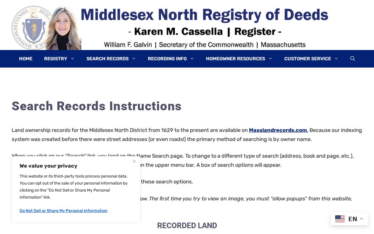
The instructions matter most when a street name appears in more than one form or when an older deed chain leaves the computerized index.
Dracut Records Tied to a Street
Address-keyed sources have different evidentiary value. The assessor and GIS tools establish present parcel context. Registry instruments establish recorded land transactions. A permit can date physical work when the responsible department provides a responsive address record. The annual street list has its own statutory limits. Keeping those sources in separate columns makes it clear what each can, and cannot, show.
| Address record | Dracut or county keeper | What it can show | Access and limit |
|---|---|---|---|
| Assessor card | Dracut Assessors | Owner, situs, mailing address, MBL, size, value, and improvements where displayed. | Public Vision/GIS context; assessment is not occupancy proof. |
| GIS parcel | Town GIS | Mapped parcel, location, and owner/address/ID search context. | Public dynamic viewer; verify because the Town disclaims completeness. |
| Recorded land | Middlesex North Registry | Grantor, grantee, recording, legal description, book/page, or document number. | Computerized name index from 1976; older books and indexes take more work. |
| Permits | Responsible Town department | Work type, date, and applicant or owner where the responsive public record shows it. | No public all-permit index or fixed field list was located. |
| Annual street list | Town Clerk / Board of Registrars | Street or dwelling arrangement and statutory resident or voter fields. | Local-list request; it does not represent every occupant. |
| Reverse directory | Historical Society collection | Historical street-number entry and a name to check in the alphabetical directory. | 1946 direct index; directory runs are not complete for every year. |
A parcel ID links the map and assessment card to a deed search. A street name links the address to the local-list arrangement and older directory index. Those connections support comparison, not a shortcut around the limits of any one record.
Dracut Street Permit Evidence
Permits can fill a date gap in an address history. The documented local routes include Building Department permits for construction, additions, alterations, pools, garages, inspections, zoning determinations, and complaints; Fire Viewpoint records for certificates, FP-6, and oil permits; and DPW OpenGov records for stormwater, trench, curb-cut, and street-opening work. A permit may identify work at an address and, if shown, an applicant or owner. It does not establish the complete household at the property.
No public searchable, all-permit result index or exact online field inventory was located. For a specific address and time period, make a focused request to the responsible department under the Massachusetts Public Records Law request route. Ask for existing permit records, rather than a newly created street report, and retain the department's response date with the record.
Note: A construction date, a title transfer, and a resident-list entry may describe different events, so their dates should never be silently merged.
Dracut Street Lists and Precincts
The Dracut Town Clerk is the local route for an annual street list. Massachusetts law recognizes street, alphabetical, and smallest-voting-subdivision arrangements. The 2025 procurement described a resident listing with roughly 17 Street/Precinct pages, 180 pages alphabetical by street, and 160 pages alphabetical by resident. That procurement describes the product's shape, not a published list of individual names.
A local list is useful because it can organize records by dwelling address and street. It remains incomplete as a household measure. Protected and confidential records, unlisted status, minors, nonrespondents, people who are not registered, and people who have moved can prevent a match. The state registration page is for an individual's own status and does not turn a street or ZIP into a browseable statewide roster.
Dracut's December 2022 map assigns streets to nine precincts. Some road entries cross precinct lines, including Myron Road and Wagon Wheel Road. A precinct is voting geography, not a parcel boundary or postal boundary. Use the Town's property-map material for map-number context and the street and precinct map for the voting relationship.
Dracut's 1946 Reverse Street Index
The 1946 Polk volume is an unusually direct historical address tool because it includes a reverse Street/Address Index. Start with the old street and number, copy the returned surname, then find that person in the alphabetical section. The result is a historical directory lead, not a deed or a modern occupancy finding. Pair it with the publication year, a dated deed, tax roll, census schedule, permit, or vital record before relying on it.
The located Dracut and Lowell Suburban directory runs span 1898 through 1967, but they are not annually complete. A missing year can mean that no matching volume was located, not that no one lived at the address. The 1898 abbreviation key also drops “street” after a street name and compresses details into short codes. Preserve the directory spelling rather than forcing it into today's address style.
Dracut's older regional history explains why a search can lead through a Lowell Suburban title. A historical address may use a village, post-office, or road description instead of a modern postal form. The deed's legal description and the property maps are the bridge when a directory label and a current street label differ.
Dracut Street Segment Research
No verified full-street export, stable street-range search, or GIS ZIP filter was found. For a whole road segment, use a documented manual inventory: note the road name, visible number range, parcel ID, map number, corner or abutting roads, and any shared driveway or lot split seen on the map. Then check each parcel in Vision and retrieve the relevant deed reference. This is slower, but it respects the actual portal controls.
For an older segment, add the directory's original address text and publication year. If the map placement and assessment card disagree, compare the deed plan or legal description before deciding that either source is wrong. Dracut has no located town-wide renumbering date, so it would be inaccurate to assume that every historical number converts directly to a current number.
Limits of a Dracut Street Directory
A street search does not establish every person at an address. The assessor can show an owner or mailing recipient. The deed index can show legal parties. A voter or street list can show only the people and fields made available under its rules. A historical directory may name a householder, boarder, spouse, or business at the time of publication. None of those results should be relabeled as a complete, current household list.
Private utility and delivery customer records are not a public street roster. Massachusetts RMV address information follows separate legal restrictions, and Address Confidentiality Program, protected voter, sealed-court, and other protected addresses may be absent or substituted. Do not copy sensitive identifiers from public images or use an address trail to make unwanted contact.
Lawful use. Dracut address records support personal, lawful research and civic transparency. Massachusetts stalking and criminal-harassment laws do not permit repeated unwanted contact, threats, surveillance, or exposure of protected information.